

Here you can find the current weather report for your Canary Island:
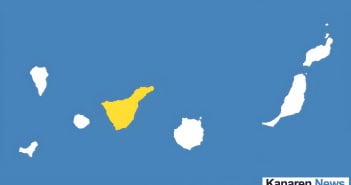
Tenerife-Wetter
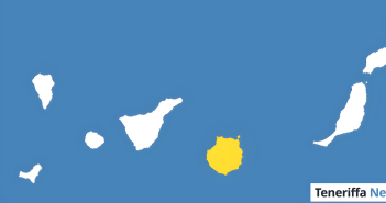
Gran-Canaria-Wetter
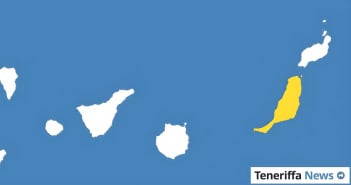
Fuerteventura-Wetter
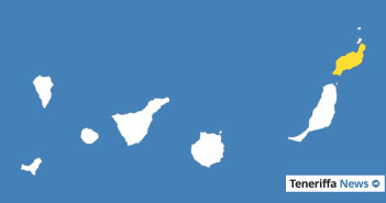
Lanzarote-Wetter
La-Gomera-Wetter
El-Hierro-Wetter
La-Palma-Wetter

La-Graciosa-Wetter
The current weather forecast for the Canary Islands can be found above
As you can see there, we do not provide a general weather forecast for the Canary Islands. The weather there is just as varied as the individual Canary Islands themselves. After all, the Canary Islands cover an area of just under 7,500 square kilometres. For this reason, there is no such thing as the ‚Canary Islands‘ weather.
At the top of this page, you’ll find links to the forecasts for the eight main Canary Islands. The linked pages then show the exact weather conditions and temperatures for the selected Canary Island. You’ll also find several weather forecasts there. For example, we provide separate forecasts for Tenerife North and Tenerife South. Even within these two areas, rainfall, hours of sunshine and wind speeds often vary considerably.
So don’t just settle for a general overview of the weather in the Canary Islands – take this opportunity to find out exactly what it’s like: at Teneriffa News, you’ll always find the perfect weather forecast for where you live or are travelling to.
Incidentally, compared with Central Europe, the weather in the Canary Islands is mild and consistent all year round. Average temperatures always remain in double figures. In summer, however, it does not get too hot, as the trade winds provide a pleasant breeze. The average sea temperature is between 18 and 21 degrees Celsius, meaning that a beach holiday is possible in the Canary Islands even in winter. A particular weather phenomenon is the Calima. You can find more information about this here.
But enough of the general weather information for the Canary Islands. Why not choose your island from the list above and find out what the weather is like there? We hope you have a sunny day!
Aktuelles Kanaren-Wetter heute
Auf den Kanaren setzt sich am Mittwoch überwiegend sommerliches Wetter fort, geprägt von einem Wechsel aus Wolkenfeldern und sonnigen Abschnitten. Die Temperaturen liegen verbreitet im warmen Bereich, mit Tiefstwerten um 19 bis 24 Grad und Höchsttemperaturen meist zwischen 25 und 31 Grad. Während an den nördlichen Küsten vieler Inseln zeitweise mehr Wolken durchziehen, bleibt es im Süden und in den höheren Lagen meist freundlicher.
Im Tagesverlauf lockern die Wolken vielerorts auf, besonders am Nachmittag, wenn sich längere sonnige Phasen einstellen. Leichte bis mäßige Temperaturanstiege machen sich vor allem im Inselinneren bemerkbar, teils auch in mittleren Höhenlagen. An den Küsten bleiben die Werte dagegen häufig auf dem Niveau der Vortage, da der Wind vom Meer für eine gewisse Stabilisierung sorgt.
Der Wind weht überwiegend aus nördlichen bis nordöstlichen Richtungen, meist schwach bis mäßig, kann aber in typischen Windkanälen und exponierten Lagen auffrischen und stellenweise kräftigere Böen bringen. In höheren Gebieten einiger Inseln dreht der Wind zeitweise auf westliche Richtungen und kann dort deutlich stärker ausfallen. An den geschützten Küstenabschnitten machen sich tagsüber vor allem lokale Windzirkulationen zwischen Land und Meer bemerkbar.