

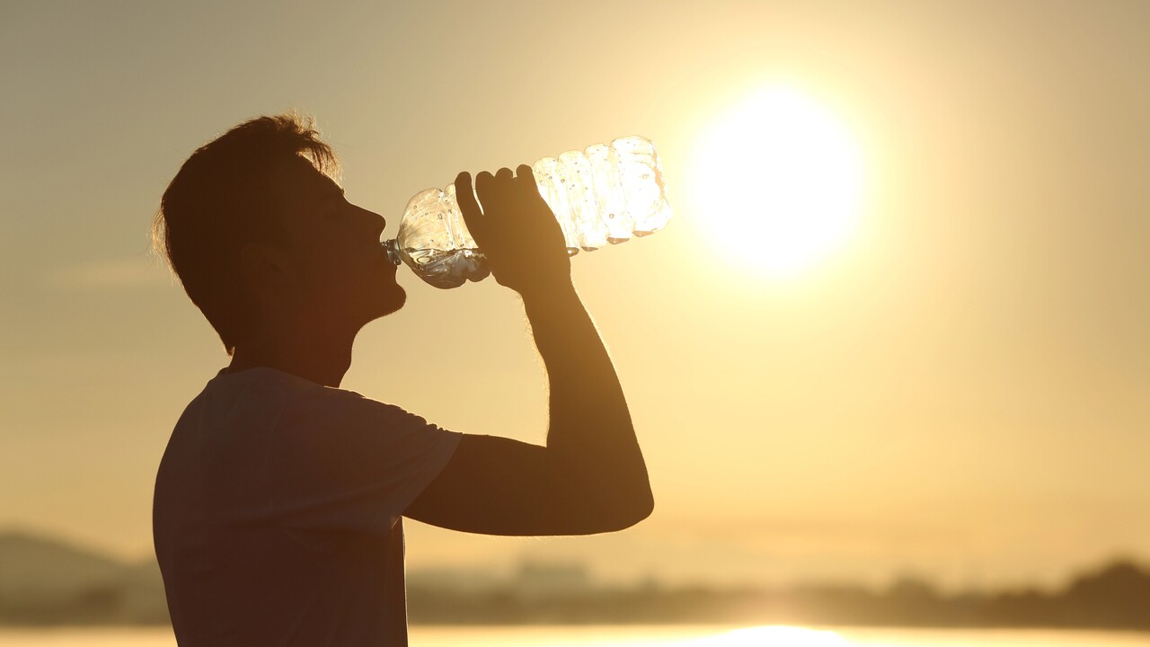
Temperatures of up to 35 degrees in the east, yet scattered showers in the west – that’s the weather forecast for the Canary Islands until at least Thursday evening. The archipelago is now under its next heatwave warning. On Tuesday, it will already be in force for two islands, and will gradually be extended to more.
Initially, Fuerteventura and the south of Gran Canaria are under this heatwave warning. Temperatures of up to 34 degrees are expected. On Wednesday, Lanzarote and La Graciosa will also come under the warning. The east of the archipelago is still expected to see temperatures of up to 34 degrees, whilst Gran Canaria is expected to reach up to 35 degrees.
By Thursday, almost all of the Canary Islands will be under a heat warning. Only La Palma is expected to see temperatures just below the threshold for an official weather warning from the national weather service, Aemet.
Canary Islands expect another heatwave
In the south of Gran Canaria and the north-east of Tenerife, temperatures are set to climb to as high as 35 degrees, whilst the rest of the archipelago will see temperatures of 34 degrees. There will also be isolated showers. On Tuesday, light rain is possible in the south of Tenerife, whilst the north-east is even expected to see thunderstorms.
Wednesday will start off slightly cloudy, and there may be light showers again on Tenerife as the day progresses. Otherwise, it will be slightly cloudy in places in the west of the Canary Islands, and the same applies to Gran Canaria and parts of Fuerteventura.
On Thursday, a weather front will divide the western and eastern parts of the archipelago. Between El Hierro and Tenerife, there will once again be light cloud in places, whilst blue skies and bright sunshine are expected from Gran Canaria through to Lanzarote.
The heatwave is set to continue every day from late morning until early evening. From Friday onwards, temperatures are expected to drop back to normal levels. In addition, from the weekend onwards, there may be increasing rain accompanied by thicker cloud cover.
For exactly how the weather is developing, see our always up-to-date weather forecast for the Canary Islands. Below you can go straight to…



«New heat warning for the Kanaren until at least Thursday»
No comments on this article yet.