Punta de Teno, the westernmost point of Tenerife, in pictures
The lighthouse stands at the end of a volcanic headland, with La Gomera on the horizon and sea water so clear it turns pale blue in the sun. The small harbour is used mainly by fishermen, and the TF-445 access road reopened after two years of works.
Johannes Bornewasser is an author, journalist and editor-in-chief of Teneriffa News. He is regarded as a recognised expert on the Canary Islands. Bornewasser is also responsible for the editorial content of the website.
2 min read
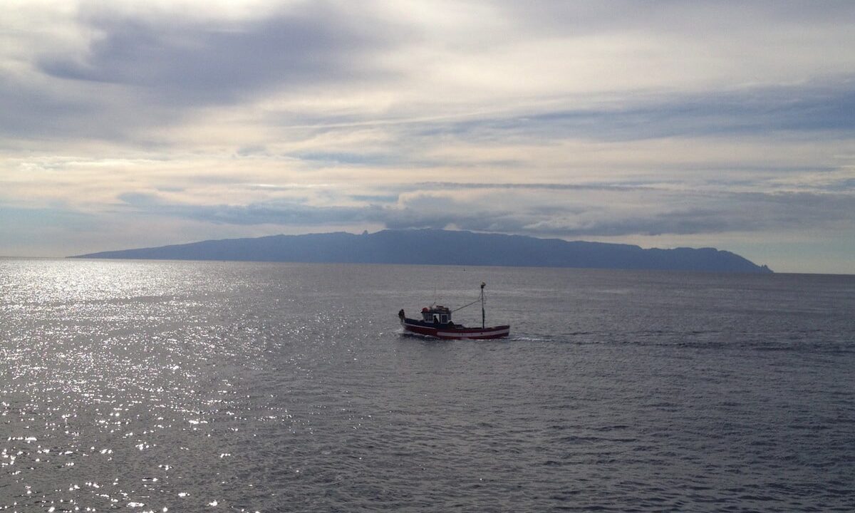
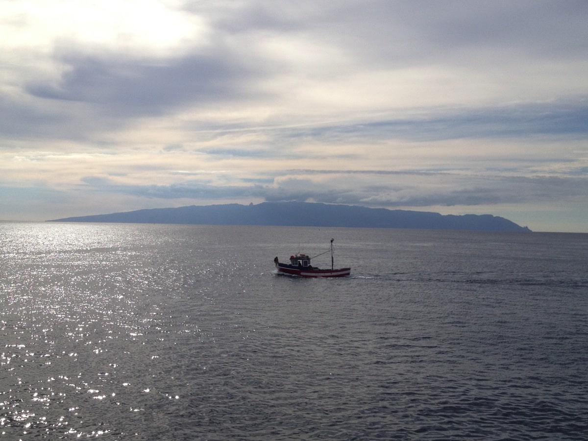
Photo: Johannes BornewasserFrom Punta de Teno, on a clear day, the view stretches as far as Tenerife's neighbouring island, La Gomera.
Photo: Johannes BornewasserThe Buenavista lighthouse is situated on Punta de Teno, a long headland in the north-west of Tenerife. La Gomera can be seen in the background.
Click the «NEXT >» button to go to the next image…
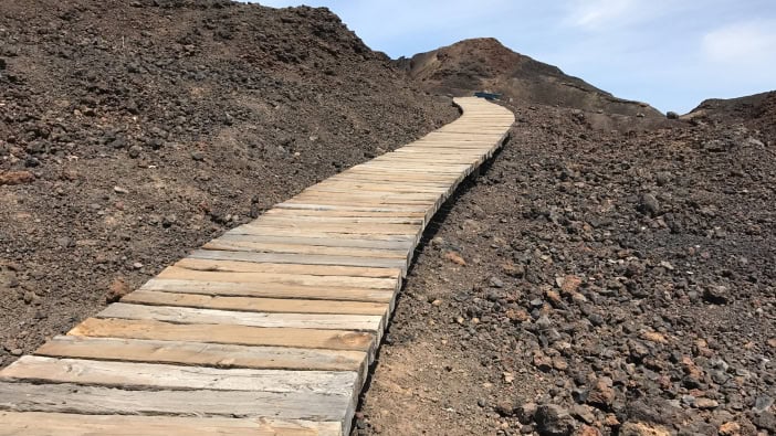
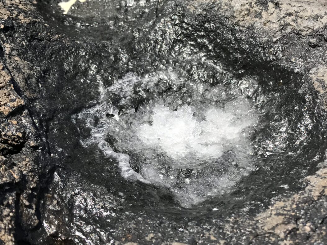
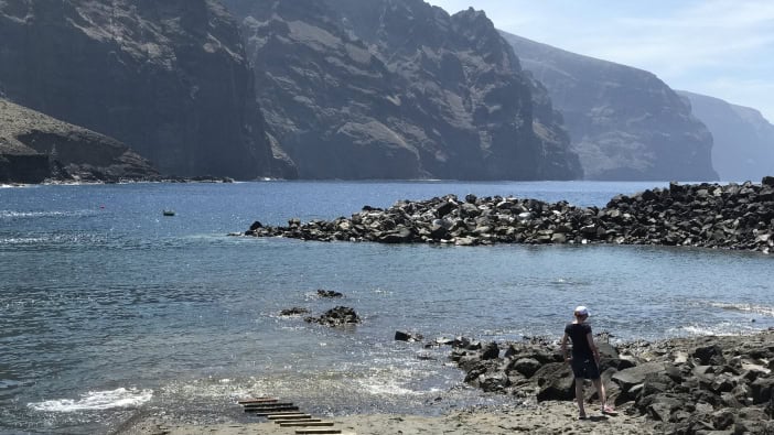
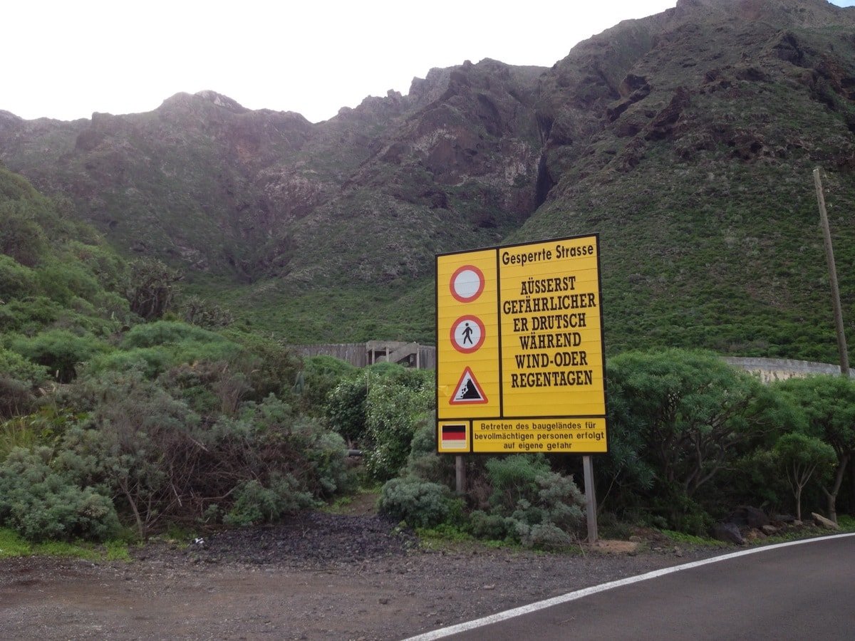
Photo: Johannes BornewasserThe lighthouse stands at the end of a volcanic headland.Photo: Johannes BornewasserAmong other things, a wooden footpath leads from Punta de Teno through this rocky wasteland down to the sea.There, the water of the Atlantic is so clear that it looks light blue in the sunlight.Photo: Johannes BornewasserOn a clear day, the view from Punta de Teno stretches as far as Tenerife’s neighbouring island, La Gomera.Photo: Johannes BornewasserWhen the weather is fine, the view from Punta de Teno is magnificent.Photo: Johannes BornewasserSeawater keeps collecting in the volcanic rocks. The intense sunlight causes the water to evaporate, leaving behind large quantities of sea salt.Photo: Johannes BornewasserThe small harbour at Punta de Teno has been used as a film location on several occasions, including in «Balko Tenerife» (more on this here).By the way: The path to Punta Teno was quite a challenge for many years: the council initially put up warning signs to protect itself from claims in the event of falling rocks. After two years of construction, the TF-445 has now been refurbished and handed over, and visitors can once again reach Punta Teno. You can find out how to get there via the link on the next page…










«Punta de Teno, the westernmost point of Tenerife, in pictures • Image 1 of 1»
No comments on this article yet.