

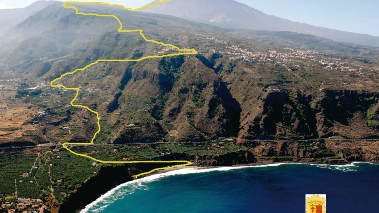
On Route 040 in Tenerife, experienced walkers will soon be able to push themselves to their limits. The local authority has designed the route in collaboration with the town of Los Realejos, where the walk begins and ends, and the Canary Islands Mountaineering Federation. The experts have come up with plenty of ideas for adventurous walkers.
Route 040: From the beach to Spain’s highest mountain
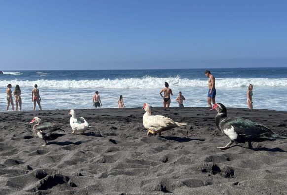
The starting point of the new hiking trail is right by the sea. Playa El Socorro in the north of the island has long been popular with surfers, who find ideal conditions here. The beach, which is equipped with Wi-Fi, now also serves as a starting point for hiking enthusiasts. From this spot in the north of Tenerife, the hiking trail winds its way along the cliffs, gradually climbing upwards.
The route leads from Socorro Beach through various nature reserves and up into the Mount Teide National Park. On the way, the route passes through Tigaiga and on to the Lance viewpoint. From there, the walk continues up to La Fortaleza, which is already part of the national park. The route continues through Las Canadas until finally the last hurdle of the outward journey is overcome: Mount Teide.
Hiking into the sunrise over Mount Teide
The Refugio de Altavista mountain hut is a good place to stop for a break. Anyone wishing to experience a spectacular and unique view should plan their ascent to the summit so that they reach it just as the sun rises.
From Mount Teide, the route then takes you back down 27,700 metres to the beach, covering a total distance of more than 55 kilometres.
Route 040: Map with landmarks
For Route 040, existing hiking trails have been combined into a single long route. The Island Council spent around 250,000 euros on repairing and linking the existing paths, as well as installing new signposting. Route 040 thus complements the existing network of around 1,500 kilometres of hiking trails, which previously attracted many thousands of visitors to Tenerife every year.
Route 040 from Los Realejos to Mount Teide in detail
Start: Playa El Socorro, Los Realejos
Finish: Summit of Mount Teide
Distance: approximately 55 kilometres
Duration: varies greatly depending on fitness level
Elevation gain: 3,715 metres
Target group: advanced walkers and elite athletes
We hope you enjoy the walk and look forward to hearing about your experiences and receiving any feedback via the contact section.
Find more hiking trails in Tenerife here.
Guided hiking tours for you:
We are familiar with the hiking trails on Tenerife described here, but cannot guarantee that the routes will remain accurate in the long term. Construction work or natural forces may alter the trails. We thank you for your understanding!






No comments on this article yet.