

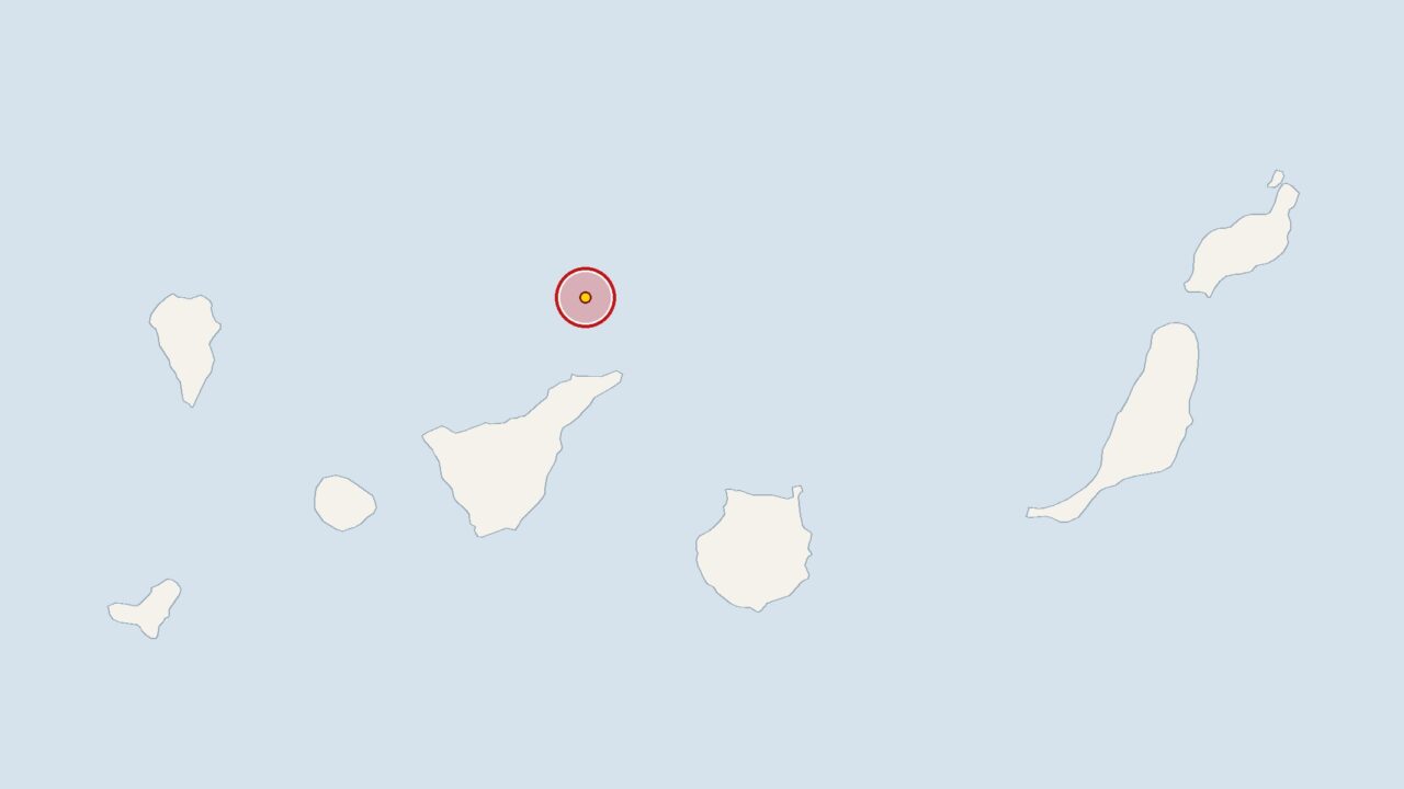
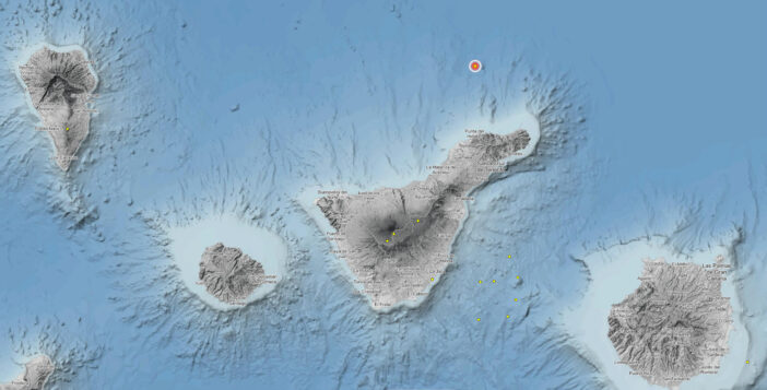
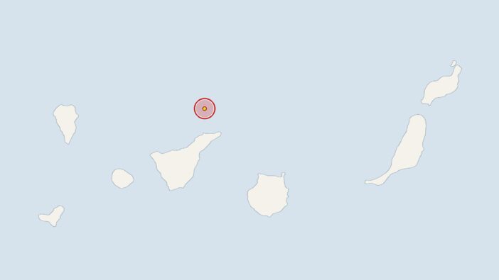
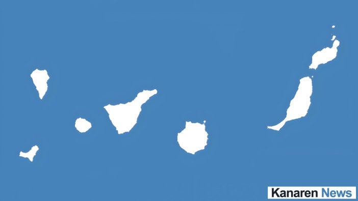
At 6.28 am on Monday, monitoring stations recorded an earthquake measuring 2.2 on the Richter scale approximately 40 kilometres off Tenerife in the Canary Islands. According to the Spanish National Geographic Institute (IGN), the epicentre was at a depth of twelve kilometres.
Just a few hours later, on Monday, the IGN recorded another earthquake off the coast of Tenerife. The two tremors occurred at different depths.
Over the past 30 days, the IGN recorded a total of 50 earthquakes in the Canary Islands, averaging 1.7 earthquakes per day. The authorities recorded ten tremors with an average magnitude of 1.9 over the past seven days. Details of the second earthquake, with a magnitude of 2.0, are set out in the following overview.
Tenerife: Overview classifies second earthquake based on measurement data
As well as the location, the overview – sorted by the time of measurement – also lists the magnitude and depth of the subsequent earthquake.
| Date and time | Place | Thickness | Depth |
|---|---|---|---|
| Monday, 8.34 am | around 20 kilometres off Tenerife | 2.0 | 25 kilometres |
Measuring instruments record the tremors, pinpoint their location and calculate both their magnitude and depth. Experts then compare this data with that of other earthquakes recorded in the region.
Tenerife is planning two emergency drills in the event of a volcanic eruption
As the Canary Islands are of volcanic origin, mild seismic activity is a normal occurrence there. The IGN and the Canary Islands Volcanological Institute are keeping a close eye on the situation, particularly as there has recently been increased activity around Mount Teide.
For this reason, the Tenerife Island Council announced two emergency drills simulating a volcanic eruption in Guía de Isora and La Laguna. A series of tectonic earthquakes off Tenerife’s north coast had also attracted attention previously.

«Two earthquakes strike off the coast of Tenerife within hours of one another»
No comments on this article yet.