

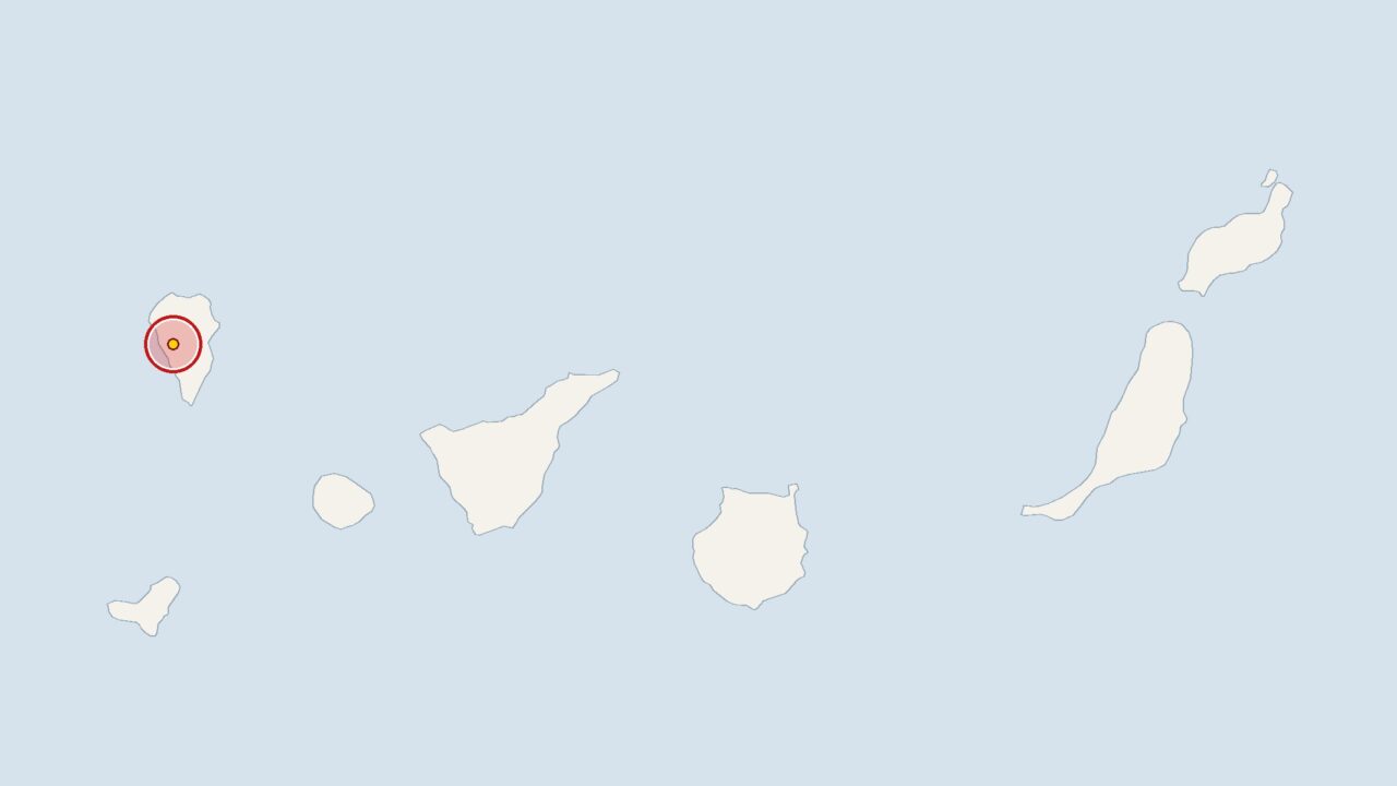
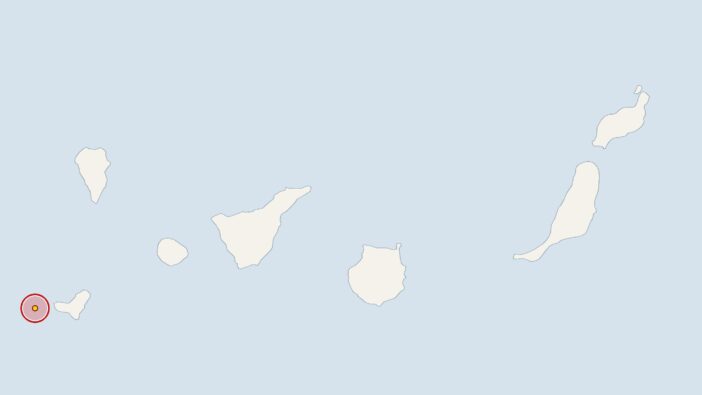
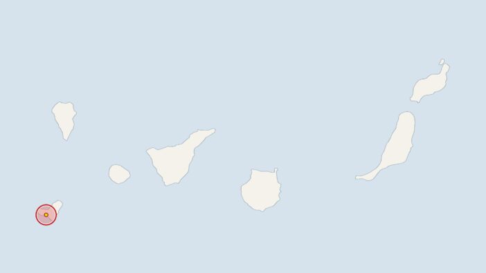
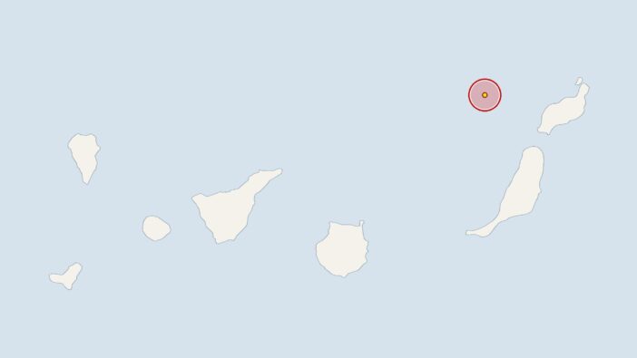
An earthquake has struck near La Palma: The Spanish National Geographic Institute (IGN) recorded a magnitude 2 tremor at 3.02 am on Monday. The epicentre of the quake was at a depth of 1 kilometre.
The European-Mediterranean Seismological Centre (EMSC) also uses the IGN’s measurement data for its analysis. The earthquake’s magnitude was exactly in line with the average for recent weeks: over the past 30 days the IGN recorded 46 earthquakes in the Canary Islands region with an average magnitude of 2, an average of 1.5 per day.
There have been ten tremors over the last seven days, which is within the usual range. As the Canary Islands are of volcanic origin, minor tremors are a normal part of geological activity there.
La Palma: Institutes are continuously monitoring seismic activity
Experts from the IGN and the Canary Islands Volcanological Institute (INVOLCAN) are constantly monitoring seismic activity. Seismologists and geologists do not automatically interpret a cluster of small earthquakes as an indication of increased risk, although the institutes do examine such sequences closely.
On the neighbouring island of Tenerife, the focus has recently been on emergency situations. Researchers, meanwhile, are using fibre-optic cables as sensors in the ocean off Gran Canaria, as announced on 3 November.
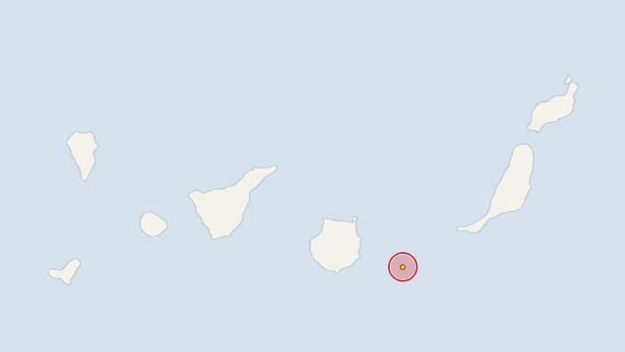
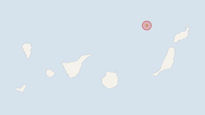
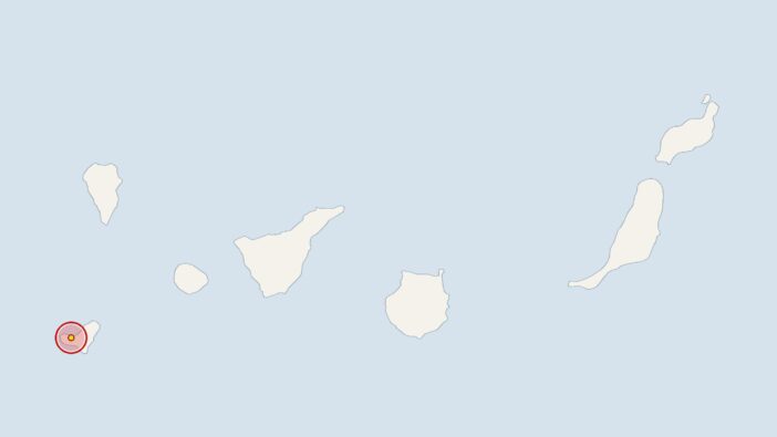
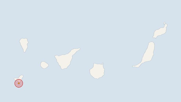
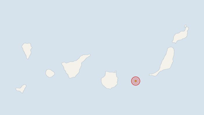
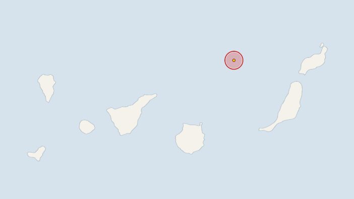
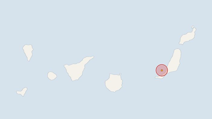
Earlier, at 10.13 pm on Thursday, the IGN had recorded a 2.8-magnitude earthquake 30 kilometres off the coast of Tenerife, with the epicentre at a depth of 33 kilometres. On Thursday at 2.59 pm, the earth trembled near El Hierro with a magnitude of 2.4 at a depth of 12 kilometres. On Thursday at 8.36 am, the stations recorded an earthquake near Tenerife with a magnitude of 2; its epicentre was 32 kilometres deep.
Comments (0)
No comments on this article yet.