

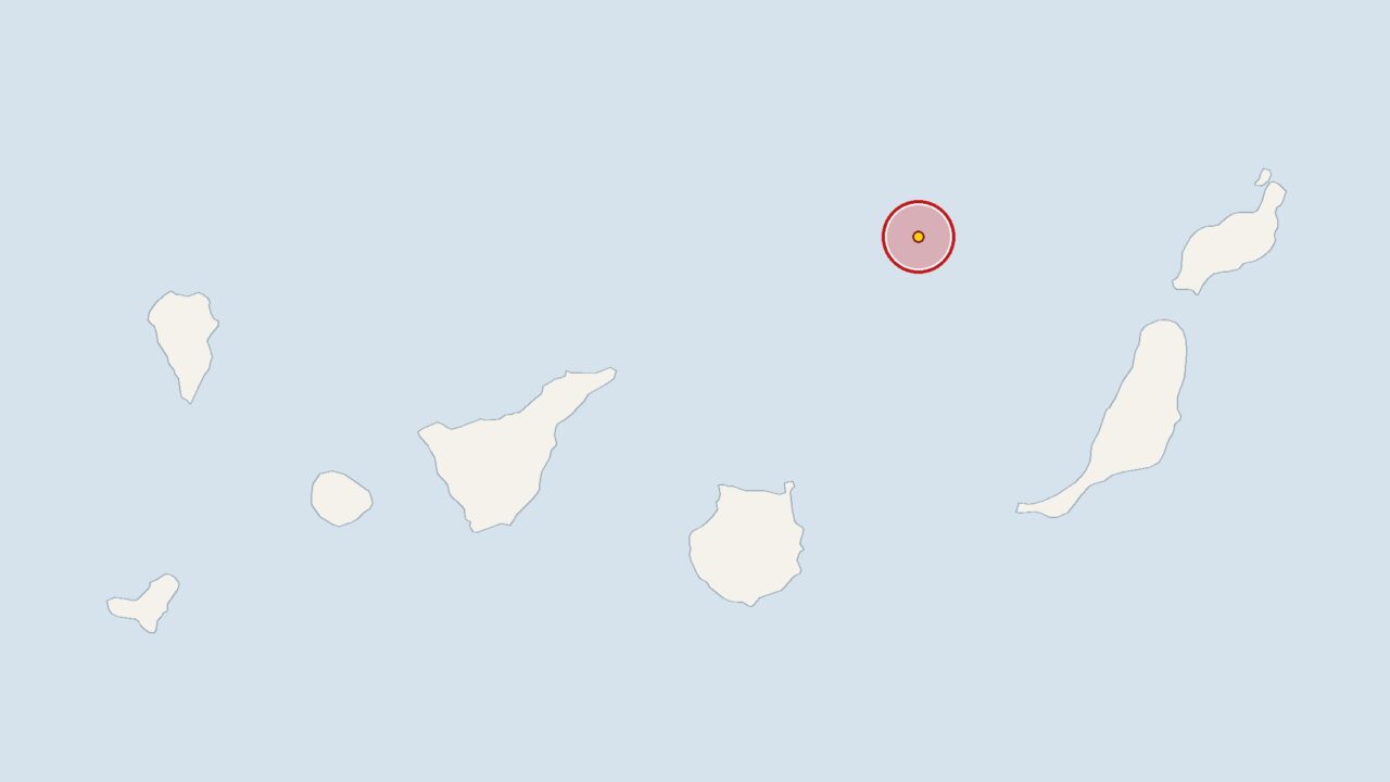
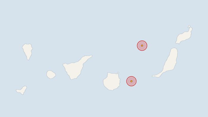
An earthquake struck 90 kilometres off Fuerteventura on Sunday at 6.08 pm. The epicentre of the tremor, which had a magnitude of 3.1, was at a depth of 50 kilometres.
The earthquake was recorded by the Spanish National Geographic Institute (IGN). The measurement data collected there is analysed by the Euro-Mediterranean Seismological Centre.
Over the past 30 days, the IGN has recorded a total of 52 earthquakes in the Canary Islands. This works out at an average of 1.7 tremors per day, with a mean magnitude of 1.9. Over the past seven days, 14 tremors have been recorded, which is within the usual range.
Fuerteventura: Earthquake exceeds the average for the past 30 days
Mild seismic activity is normal in the Canary Islands, as the islands are of volcanic origin. The IGN therefore monitors the readings on an ongoing basis. This particular earthquake, with a magnitude of 3.1, exceeded the average for the past 30 days.
Researchers have identified a large magma chamber beneath Pico Viejo, a subsidiary volcano of Mount Teide. Further details can be found in the report on an earthquake off the coast of Tenerife and the situation at Mount Teide.
Tenerife has carried out an eruption drill; there was an earthquake deep beneath El Hierro
On 22 October 2026, the Tenerife Island Council conducted the Volcanex exercise, simulating a volcanic eruption in the south of the island. The report on earthquakes near El Hierro attributes measurements from other deep focal points to a series that had already been observed previously.
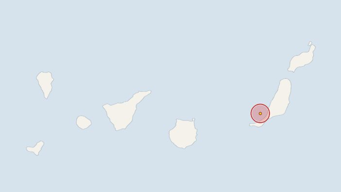
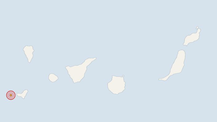
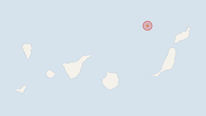
Earlier, at 4.36 am on Sunday, the IGN had recorded a 2.7-magnitude earthquake 70 kilometres off Fuerteventura, with the epicentre at a depth of 31 kilometres. On Friday at 9.50 pm, the earth trembled 30 kilometres off Gran Canaria with a magnitude of 2 at a depth of 7 kilometres. On Friday at 6.38 am, the stations recorded a tremor near El Hierro with a magnitude of 2; its epicentre was at a depth of 28 kilometres.





Comments (0)
No comments on this article yet.