

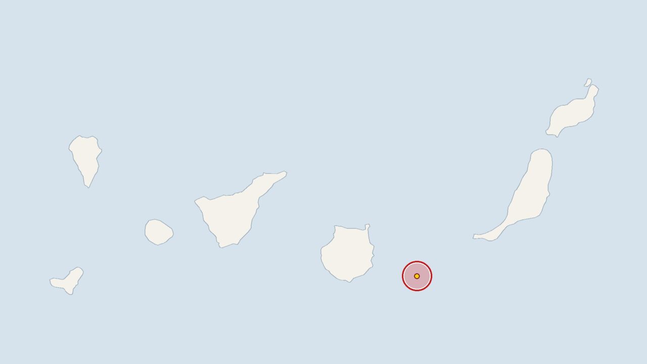
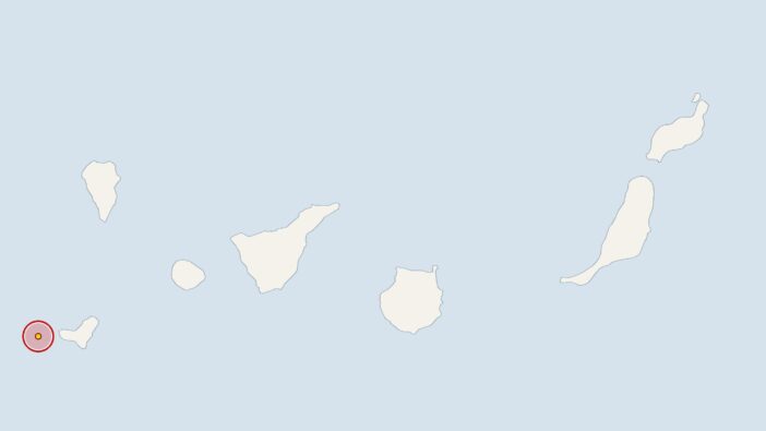
At 6.01 am on Thursday, there was an earthquake 50 kilometres off Gran Canaria, with a magnitude of 2.5.
The epicentre was at a depth of 17 kilometres. The Spanish National Geographic Institute (IGN) recorded the tremor, whilst the European-Mediterranean Seismological Centre (EMSC) is analysing the data.
Compared with recent weeks, this earthquake was stronger, as the average magnitude over the last 30 days was 1.9. During this period, the IGN recorded 50 earthquakes in the Canary Islands region, an average of 1.7 per day. Fourteen of these earthquakes occurred over the last seven days, which is within the usual range.
The Canary Islands are of volcanic origin, which is why minor tremors are a regular feature of the geological landscape there. The IGN and the Canary Islands Volcanological Institute (INVOLCAN) monitor seismic activity around the clock. Seismologists do not automatically interpret several small earthquakes in quick succession as an indication of increased risk, but they do keep a close eye on the situation.
Meanwhile, off the coast of Gran Canaria, researchers are attempting to convert fibre-optic cables on the seabed into ocean sensors that can, amongst other things, detect earthquakes.
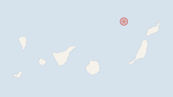
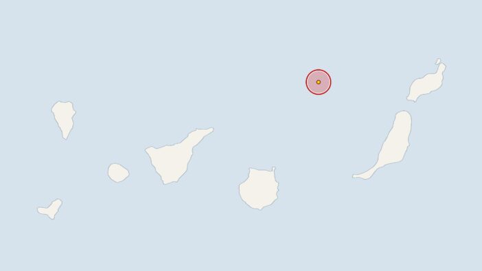
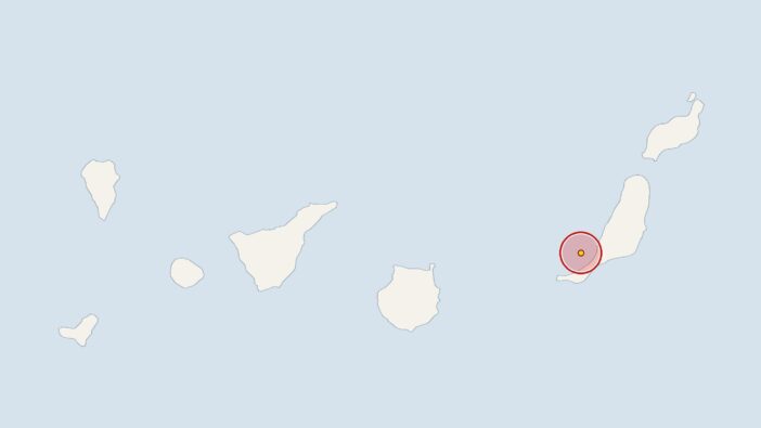
Earlier, at 11.12 am on Wednesday, the IGN had recorded a 2.4-magnitude earthquake 80 kilometres off Lanzarote, with the epicentre at a depth of 17 kilometres. On 25 October 2026 at 6.08 pm, the earth trembled 90 kilometres off Fuerteventura with a magnitude of 3.1 at a depth of 50 kilometres. On 25 October 2026 at 4.36 am, the stations recorded a 2.7-magnitude earthquake 70 kilometres off the coast of Fuerteventura, with its epicentre at a depth of 31 kilometres.






Comments (0)
No comments on this article yet.