

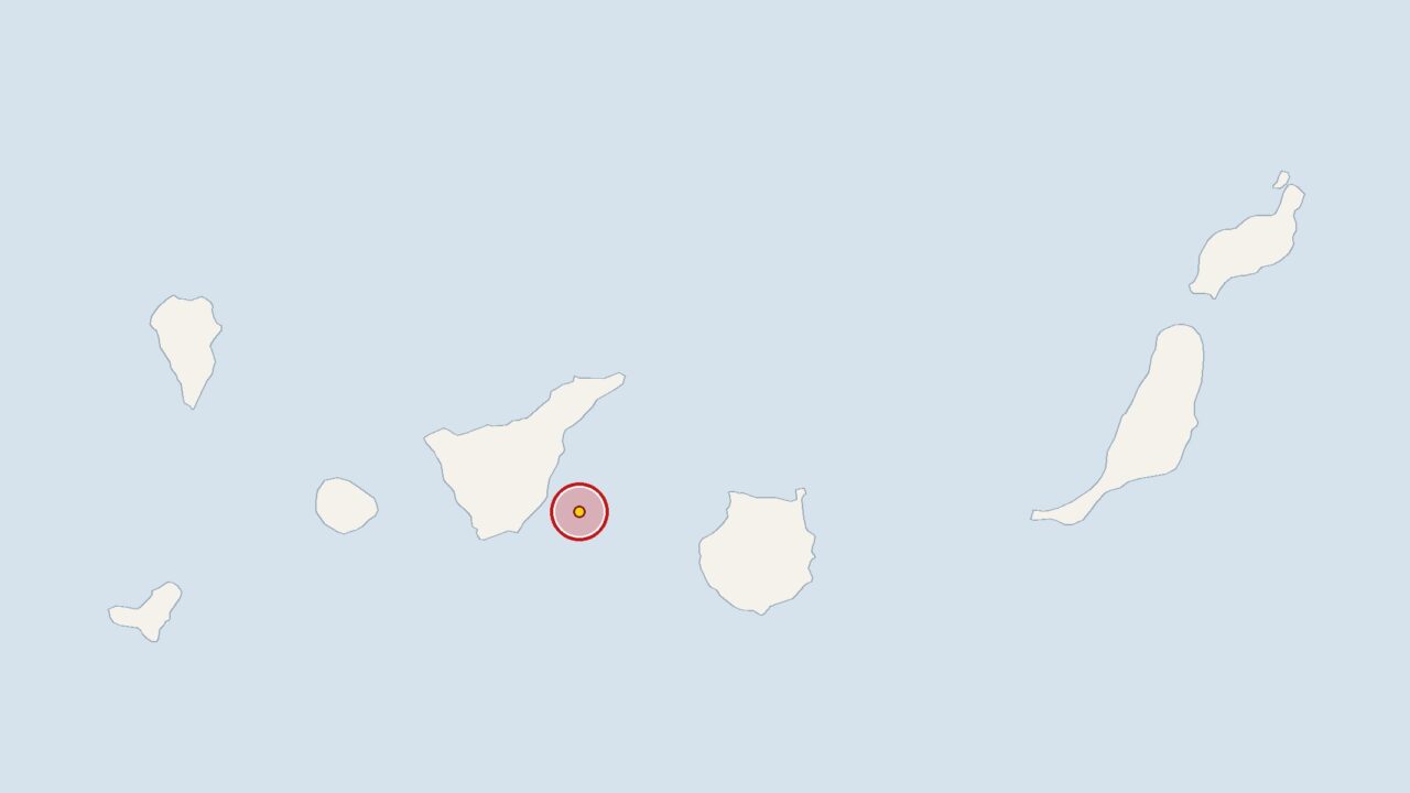
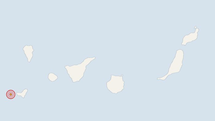
An earthquake measuring 2 on the Richter scale near Tenerife set off the seismographs on Thursday at 8.36 am. The epicentre was at a depth of 32 kilometres. The Spanish National Geographic Institute (IGN) recorded the tremor. The European-Mediterranean Seismological Centre (EMSC) analyses the institute’s data.
This means the earthquake is exactly in line with the average for recent weeks. Over the past 30 days, the IGN has recorded 45 earthquakes in the Canary Islands region, with an average magnitude of 2.
On average, there were 1.5 tremors per day during this period. Over the last seven days, the monitoring equipment recorded seven tremors. This figure was therefore slightly lower than the average for the month as a whole.
Canary Islands: Focus on volcanic preparedness and further earthquakes
On Tenerife, the authorities have carried out a drill to test their response to a volcanic eruption in the south of the island. Off the coast of the neighbouring island of Gran Canaria, researchers are using fibre-optic cables as sensors in the ocean.
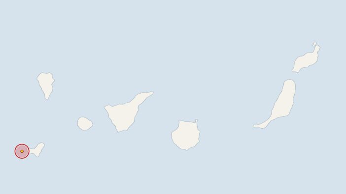
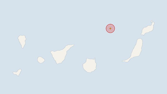
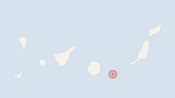
Earlier, on Wednesday at 9.36 pm, the IGN had recorded a 2.1-magnitude earthquake 20 kilometres off the coast of Tenerife, with the epicentre at a depth of 16 kilometres. On Tuesday at 5.45 am, the earth trembled 60 kilometres off Gran Canaria with a magnitude of 2.2 at a depth of 18 kilometres. On 6 November 2026 at 9.35 pm, the stations recorded an earthquake near El Hierro with a magnitude of 2.1; its epicentre was 27 kilometres deep.




Comments (0)
No comments on this article yet.