

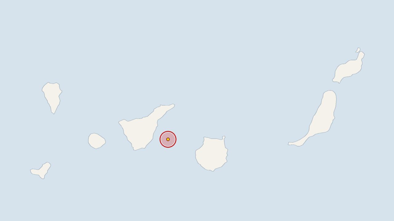
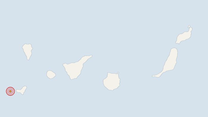
On Wednesday, an earthquake measuring 2.1 on the Richter scale struck 20 kilometres off the coast of Tenerife. The Spanish National Geographic Institute (IGN) recorded the tremor at 9.36 pm; the epicentre was at a depth of 16 kilometres.
The European-Mediterranean Seismological Centre (EMSC) also draws on data from the IGN. The magnitude of 2.1 corresponds almost exactly to the average of 2 calculated by the institute for earthquakes in the Canary Islands over the past 30 days.
During the same period, the IGN recorded 45 earthquakes in the Canary Islands region, which equates to an average of 1.5 per day. The past week has been somewhat quieter: the institute recorded seven tremors over seven days, which is slightly below what the monthly average would suggest.
Tenerife: Monitoring stations keep a round-the-clock watch on seismic activity
As the Canary Islands are of volcanic origin, minor tremors are a common occurrence at the monitoring stations there. Experts from the IGN and the Canary Islands Volcanological Institute (INVOLCAN) monitor seismic activity round the clock. Seismologists do not automatically view a cluster of tremors as indicating a higher risk, but they do monitor them closely. In October, Tenerife in the south rehearsed its response to a volcanic eruption, during which the emergency services evacuated residents and tourists.
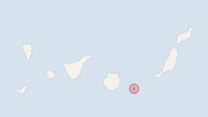
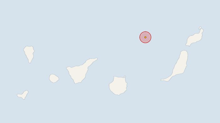
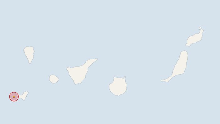
Earlier, at 5.45 am on Tuesday, the IGN had recorded a 2.2-magnitude earthquake 60 kilometres off Gran Canaria, with the epicentre at a depth of 18 kilometres. On 6 November 2026 at 9.35 pm, the earth trembled near El Hierro with a magnitude of 2.1 at a depth of 27 kilometres. On 5 November 2026 at 11.15 pm, the stations recorded an earthquake near Tenerife with a magnitude of 2.3; its epicentre was at a depth of 16 kilometres.



Comments (0)
No comments on this article yet.