

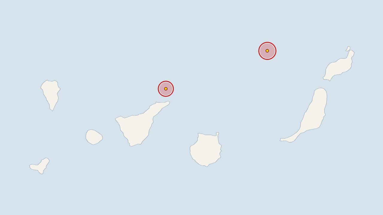
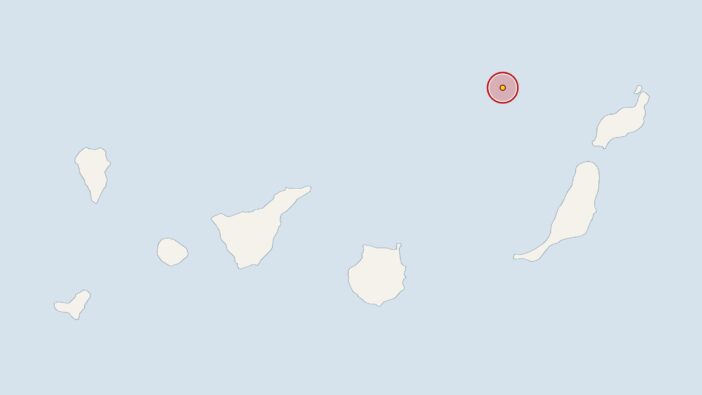
No fewer than three earthquakes shook the waters off the Canary Islands on Sunday. The stronger of the two, off Lanzarote, measured 2.5 on the Richter scale, whilst the second, off Tenerife, measured 2.0. Both tremors were recorded by the Spanish National Geographic Institute (IGN). At 4.04 am, there was a tremor around 90 kilometres off Lanzarote, with the epicentre at a depth of 30 kilometres. The data recorded by the IGN is analysed by the European-Mediterranean Seismological Centre (EMSC).
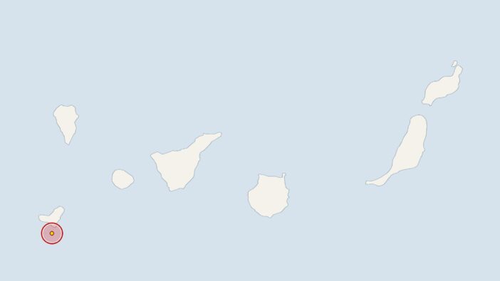
A good hour and a half later, the seismographs recorded the third tremor, at 5.45 am, around 40 kilometres off the coast of Tenerife. At a depth of 42 kilometres, this epicentre was significantly deeper than the one off Lanzarote.
The two tremors have occurred during a week in which there has been slightly more seismic activity than usual. The IGN has recorded 54 tremors across the whole of the Canary Islands region over the past 30 days, an average of 1.8 per day. Over the last seven days, there have been 17 tremors, which is slightly above what this average would suggest.
Canary Islands: Earthquake activity is above the monthly average
Over the 30-day period, the average magnitude of all earthquakes was 2.0, exactly the same as that of the earthquake off Tenerife. The earthquake off Lanzarote was 0.5 above this average. In the Canary Islands, mild tremors of this magnitude are normal; after all, the islands are of volcanic origin.
The IGN and the Canary Islands Volcanological Institute (INVOLCAN) monitor seismic activity around the islands around the clock. Seismologists and geologists do not automatically regard a cluster of earthquakes as indicating a higher risk, but they do analyse such sequences carefully based on their own assessment. A TV programme broadcast on 19 November highlighted just how much volcanism shapes the landscape of Tenerife: in it, Eva Habermann explored the Mount Teide
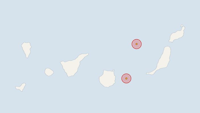
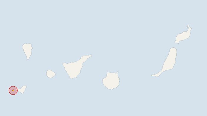
Earlier, at 7.05 am on Saturday, the IGN had recorded an earthquake near El Hierro with a magnitude of 2.2; the epicentre was 17 kilometres deep. On Tuesday at 10.02 am, the earth trembled around 40 kilometres off Gran Canaria with a magnitude of 2.5 at a depth of 5 kilometres. On 16 November 2026 at 3.02 am, the stations recorded an earthquake near La Palma with a magnitude of 2.0; its epicentre was 1 kilometre deep.




Comments (0)
No comments on this article yet.