

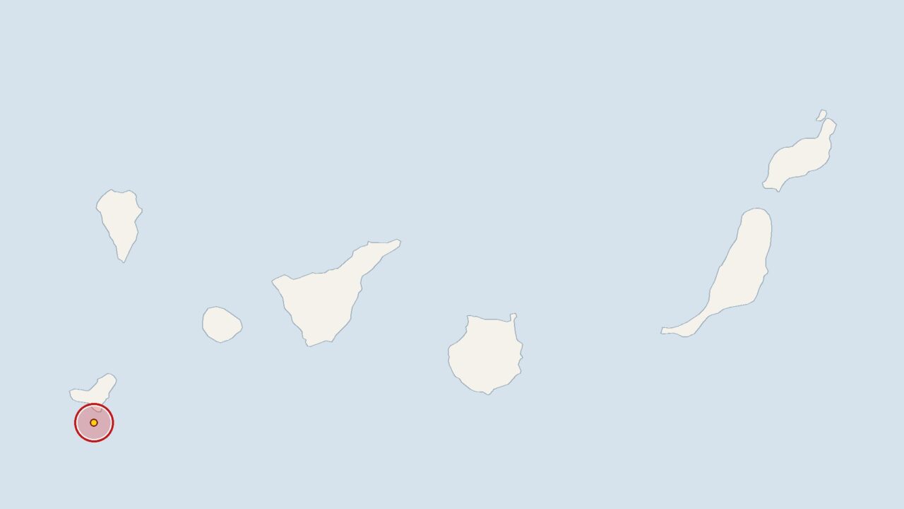
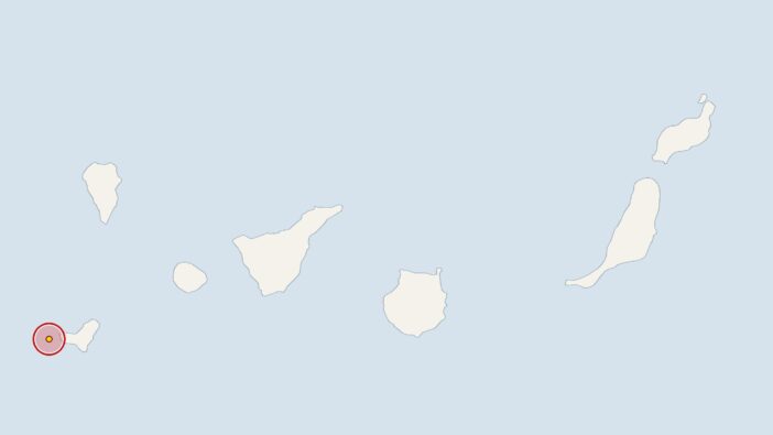
At 7.05 am on Saturday, an earthquake measuring 2.2 on the Richter scale struck the area around El Hierro. The epicentre was at a depth of 17 kilometres. The tremor was recorded by the Spanish National Geographic Institute (IGN), whose data is in turn analysed by the European-Mediterranean Seismological Centre (EMSC).
Compared with recent weeks, the number of tremors is slightly above average. The IGN has recorded 53 tremors in the Canary Islands over the last 30 days, with an average magnitude of 2; mathematically, that works out at 1.8 tremors per day. Things were a little busier last week: since last Saturday, the monitoring stations have recorded 17 tremors, which is slightly more than the monthly average would suggest.
El Hierro: Institutes are continuously monitoring minor earthquakes
As the islands are of volcanic origin, minor tremors occur there from time to time. Experts at the IGN and the Canary Islands Volcanological Institute (INVOLCAN) are constantly monitoring the data. Seismologists and geologists do not automatically interpret a cluster of tremors as an indication of increased danger, although the institutes monitor such sequences particularly closely.
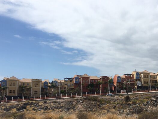
Tenerife recently demonstrated how the authorities and the public deal with the volcanic subsoil, when the island carried out a drill in October in the south to test the response to a volcanic eruption.
Earlier, at 10.02 am on Tuesday, the IGN had recorded a 2.5-magnitude earthquake 40 kilometres off Gran Canaria, with the epicentre at a depth of 5 kilometres. On 16 November 2026 at 3.02 am, the earth trembled near La Palma with a magnitude of 2 at a depth of 1 kilometre. On 12 November 2026 at 10.13 pm, the stations recorded a 2.8-magnitude earthquake 30 kilometres off the coast of Tenerife, with its epicentre at a depth of 33 kilometres.





Comments (0)
No comments on this article yet.