

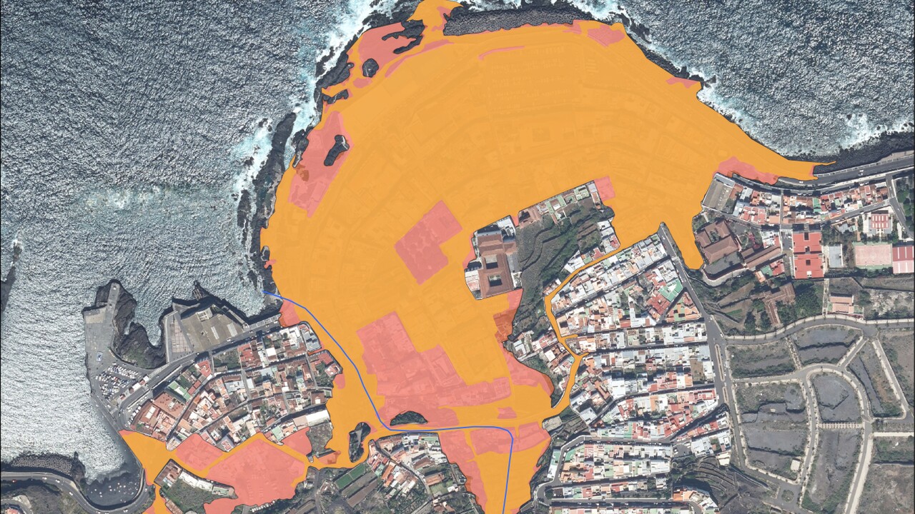
27 areas on Tenerife are now officially classified as being at risk of flooding. Previously, this applied to eight regions of the largest of the Canary Islands. This means that the flood risk has roughly tripled in terms of the number of affected localities.
Historically, coastal regions in the Canary Islands in particular have been considered at risk. One example is Garachico. This historic town in the north of Tenerife is regularly flooded from the sea during storms with high waves. The waves then reach the lower-lying parts of the town.
However, the updated map of flood-prone areas highlights a further and growing danger: flooding triggered by heavy rainfall. The newly published map now identifies 27 areas that have a ’significant potential for flooding‘ due to rivers bursting their banks and ‚barrancos‘ – as the riverbeds, which are usually dry in everyday life, are known; after heavy rainfall, these channel water down to the sea and can create torrential streams in the process. We have taken a look at where these are located:
Tenerife faces new flood risks
This significant increase in the risk of flooding following heavy rainfall in the mountains is a new feature on the flood map. At the end of March, for example, it became clear in Puerto de la Cruz what this type of rainfall can cause (more on this below).
Not all local authorities have been newly included. In some of them, the flood-prone areas have simply been extended. These new areas are currently considered proposals. A planning period between 2027 and 2033 has been allocated for them. During this time, ways are to be found to mitigate the risk, for example through targeted modifications. Furthermore, the plan serves as a basis for new development areas. If building projects are planned in high-risk areas, these should be scrutinised or safeguarded.
New flood map for Tenerife
The previous plan dates from 2014. Five years later, an update was issued, though this did not significantly alter the areas. It is only now that new findings have been incorporated, leading to a significant expansion of the risk areas. These were based on floods between 2018 and 2023 and current calculations of how similar events might impact the area in the future.
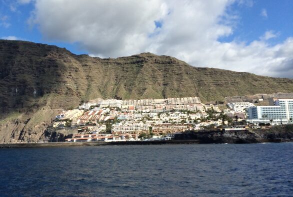
The new risk areas are mainly in the north, but there are also potential danger zones in the south of Tenerife:
New flood risk identified in the north of Tenerife in:
- Garachico
- Icod de los Vinos
- La Guancha
- La Laguna
- La Orotava
- Los Realejos
- Los Silos
- Santa Cruz de Tenerife
- Tegueste
New flood risk identified in the south of Tenerife in:
- Arona
- Candelaria
- Granadilla de Abona
- Guía de Isora
- Santiago del Mount Teide
The new risk maps show potential flood-prone areas. They are based on calculations. This does not mean that flooding will necessarily occur in these areas. However, the probability that these areas will be affected sooner or later is considered high.


Comments (0)
No comments on this article yet.