

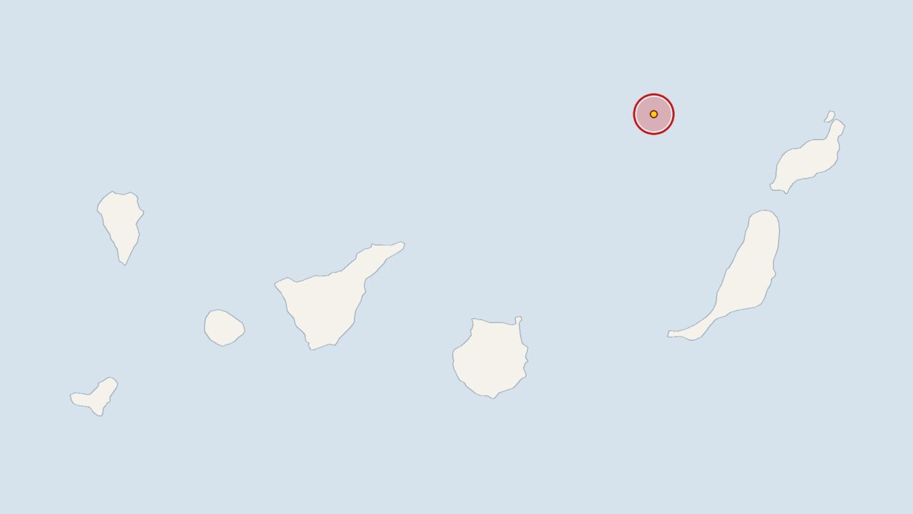
On Wednesday, an earthquake measuring 2.4 on the Richter scale occurred 80 kilometres off Lanzarote. At 11.12 am, the Spanish National Geographic Institute (IGN) recorded the tremor, the epicentre of which was at a depth of 17 kilometres.
The measurement data from the institute is analysed by the European-Mediterranean Seismological Centre (EMSC). The earthquake off Lanzarote, with a magnitude of 2.4, was above the average magnitude of 1.9 recorded by the IGN for the Canary Islands over the past 30 days.
Over these 30 days, the institute recorded 53 tremors in the region – an average of 1.8 per day – with 14 tremors occurring over the past seven days. This means that activity remains within the usual range.
Tenerife: Island Council plans drills in the event of a volcanic eruption
The Island Council in Tenerife is responding to the recent increase in seismic activity around Mount Teide. Two emergency drills are being organised, simulating a volcanic eruption in Guía de Isora and in La Laguna.
Researchers have identified a large magma chamber beneath Pico Viejo, a subsidiary volcano of Mount Teide. Among the IGN’s most recent reports was also a tremor at the Enmedio undersea volcano, which lies between Tenerife and Gran Canaria.
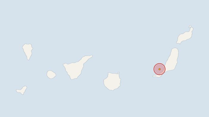
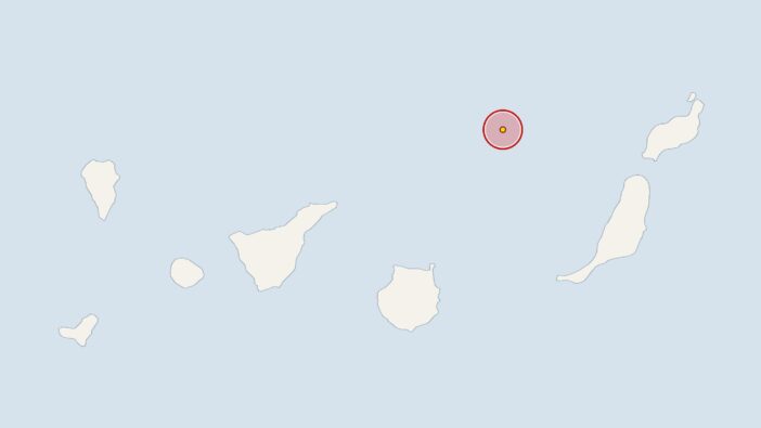
Previously, on 25 October 2026 at 6.08 pm, the IGN had recorded a 3.1-magnitude earthquake 90 kilometres off the coast of Fuerteventura, with the epicentre at a depth of 50 kilometres. On 25 October 2026 at 4.36 am, the earth trembled 70 kilometres off the coast of Fuerteventura with a magnitude of 2.7 at a depth of 31 kilometres. On 23 October 2026 at 9.50 pm, the monitoring stations recorded an earthquake 30 kilometres off Gran Canaria with a magnitude of 2; its epicentre was at a depth of 7 kilometres.







Comments (0)
No comments on this article yet.